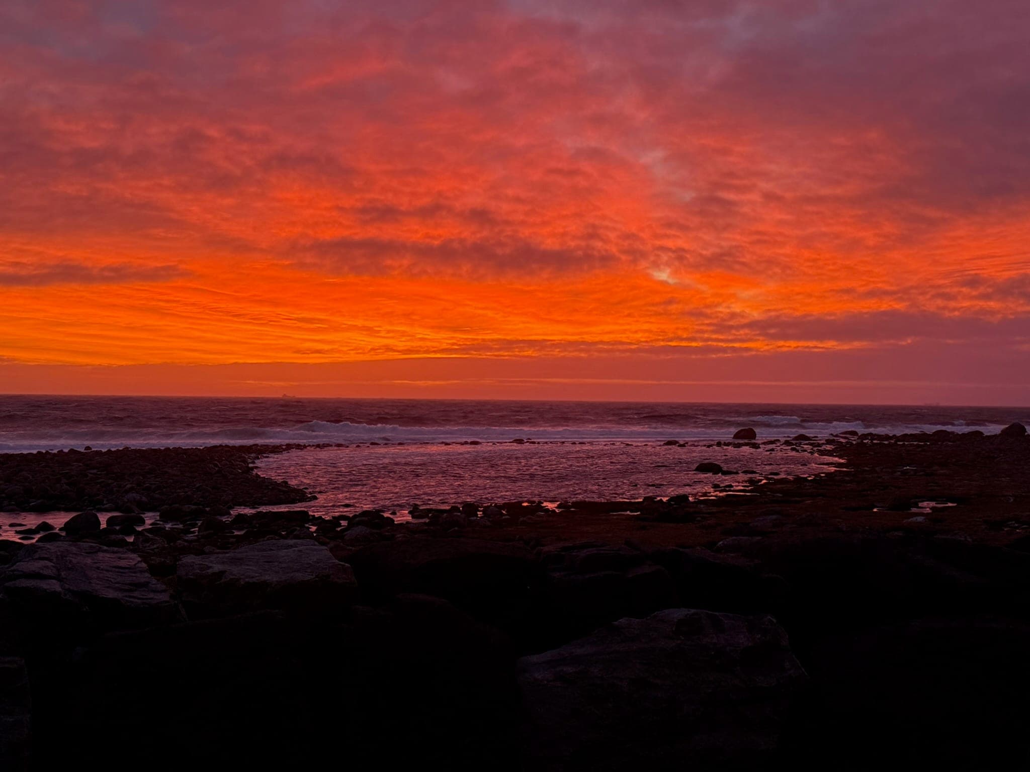
Coastal hiking on the Sørlandet
Hiking in Farsund and Lindesnes: 30 kilometres of coast, no summit needed.
When people think of hiking in Norway, they picture peaks, scree and steep ascents. Between Farsund and Lindesnes the path looks different: flat, close to the coast, with sand underfoot instead of rock. The Kyststien, the waymarked coastal path on the Lista peninsula, runs for roughly 30 kilometres through a landscape of beaches, dunes, bird sanctuaries and historic fishing harbours. No summit, no via ferrata, just the horizon with every step.
Add to that the Lindesnes lighthouse at the southernmost point of the Norwegian mainland, with its own hiking trails through the rocky landscape around it. Our holiday homes in Borhaug and Spangereid sit right in this territory. Here's what awaits you on the trails, which sections are most worthwhile, and how to split your days between the coastal path and the holiday home.
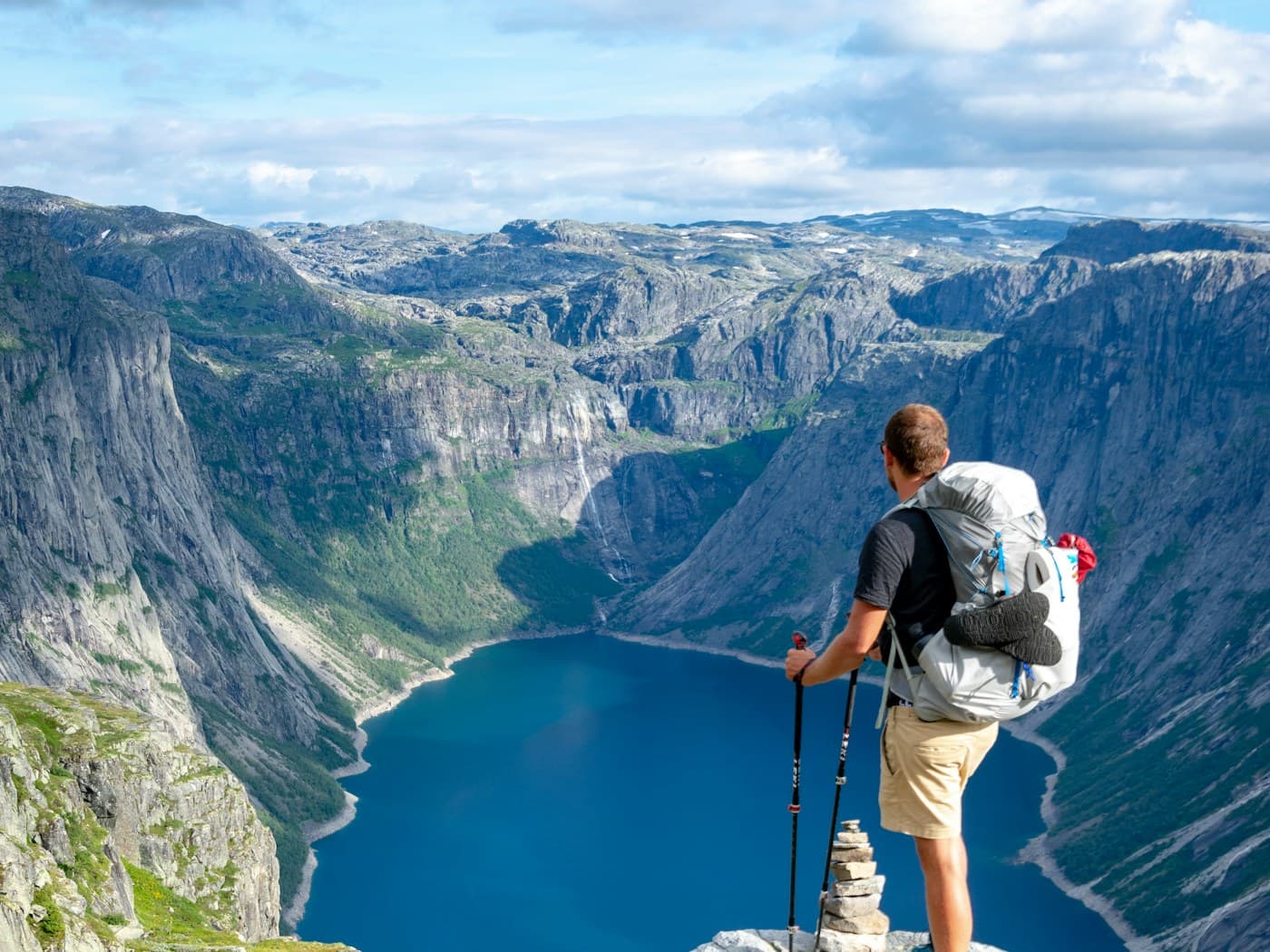
The Kyststien: 30 kilometres along the sea
The coastal path connects Loshavn in the east with Jøllestø in the west across roughly 30 kilometres, passing through some of the region's finest coastal scenery: sandy beaches, shingle bays, bird sanctuaries, fresh sea air. The route is waymarked throughout and can be walked in individual sections or as a multi-day tour.
The terrain is mostly flat. The most demanding stretch is the Kirkestien, between Loshavn and Lomsesanden, where the path gets steeper and narrower. The rest is manageable for most walkers, even without mountain boots. Between Verevågen and the Lista lighthouse, the path runs as a wide gravel track that is wheelchair accessible.
Three sections that stand out
Loshavn to Lomsesanden (Kirkestien): The most demanding stretch, but also the most beautiful. The path follows the rocky coastline past Loshavn, one of the best-preserved white timber-house settlements on the south coast. In the 19th century, Loshavn was a notorious privateer harbour during the Napoleonic Wars. Together with the neighbouring village of Eikvåg, the harbour has been proposed for the UNESCO World Heritage list.
Einarsneset near Lomsesanden: A popular walking area all year round, with several paths across the headland. From Lomsesanden you can turn towards Loshavn or walk over Einarsneset to Husebysanden. The trails offer a slightly different route with every visit.
Verevågen to Lista lighthouse: The accessible stretch. A wide gravel path along the coast, family-friendly, manageable even with a pushchair. At the end stands the Lista lighthouse, and right next to it the Lista Bird Observatory does its work.
The Fjellstien at Lindesnes lighthouse
At the southernmost point of the Norwegian mainland stands Lindesnes lighthouse, Norway's oldest. The first beacon was lit here in 1656. Today the station houses a museum that draws over a hundred thousand visitors a year.
For walkers, the Fjellstien is the draw: a red-marked circular trail of roughly 4 kilometres with around 100 metres of elevation gain. The path leads from the lighthouse over rocky terrain around the lake Sulebatjønna and across the hill Grasdalsheia. Sure-footedness helps, as some passages are steep. In return, the views over the open sea and the rocky landscape are hard to beat on a good day. Those who want more can branch off onto further marked trails (green and blue) and extend the walk.
Ten kilometres of beach, no hiking boots needed
Not every walking day needs to be a coastal trail. The Lista peninsula has around ten kilometres of sandy beach in total, spread across several bays and stretches. Lomsesanden is shallow and family-friendly, Haviksanden has fine white sand, and on calm days you walk along the water's edge as though you had the place to yourself.
In between lie the dune and wetland areas that are designated nature reserves. Stay on the paths and keep your distance from nesting birds, and you'll enjoy a landscape where beach, heath and marshland merge seamlessly into one another.
From the holiday home to the trail
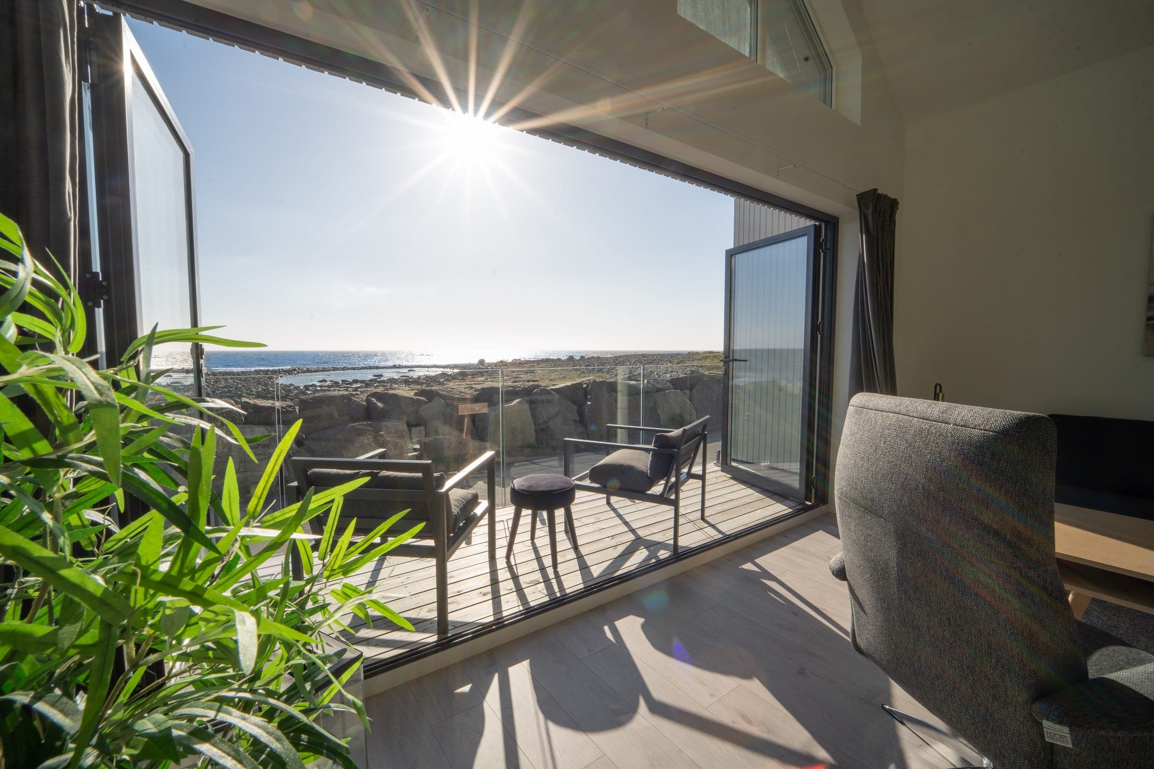
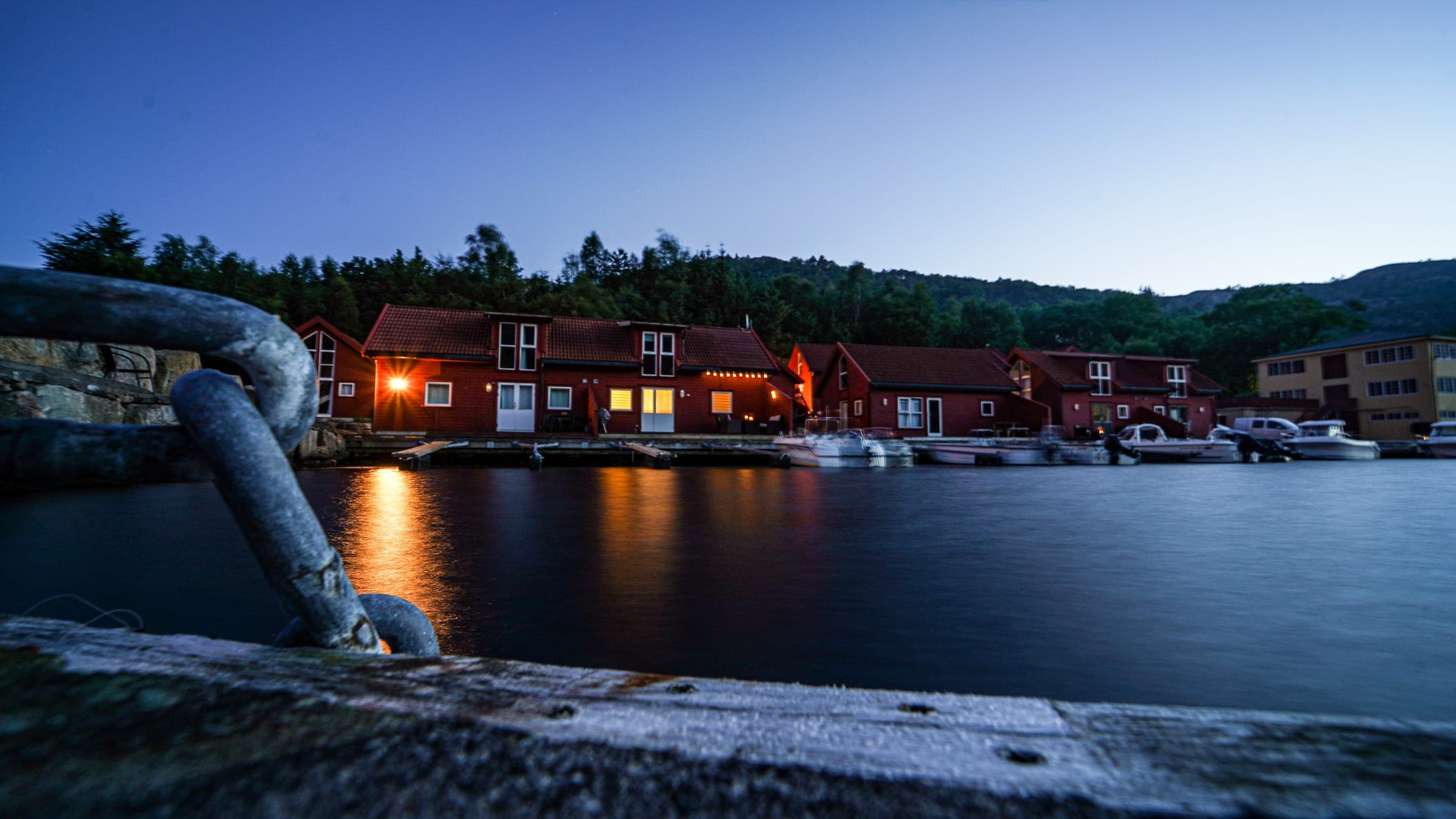
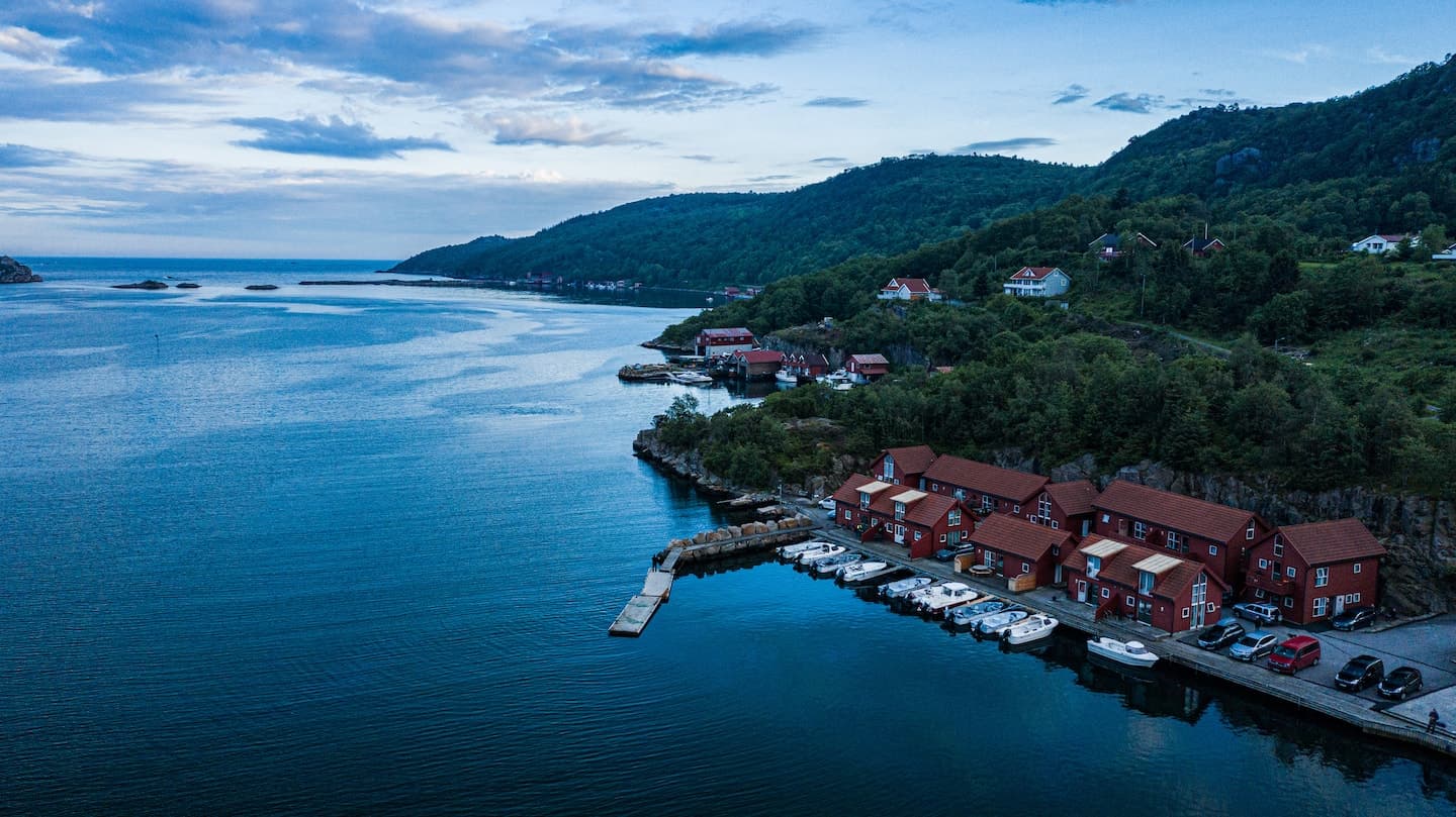
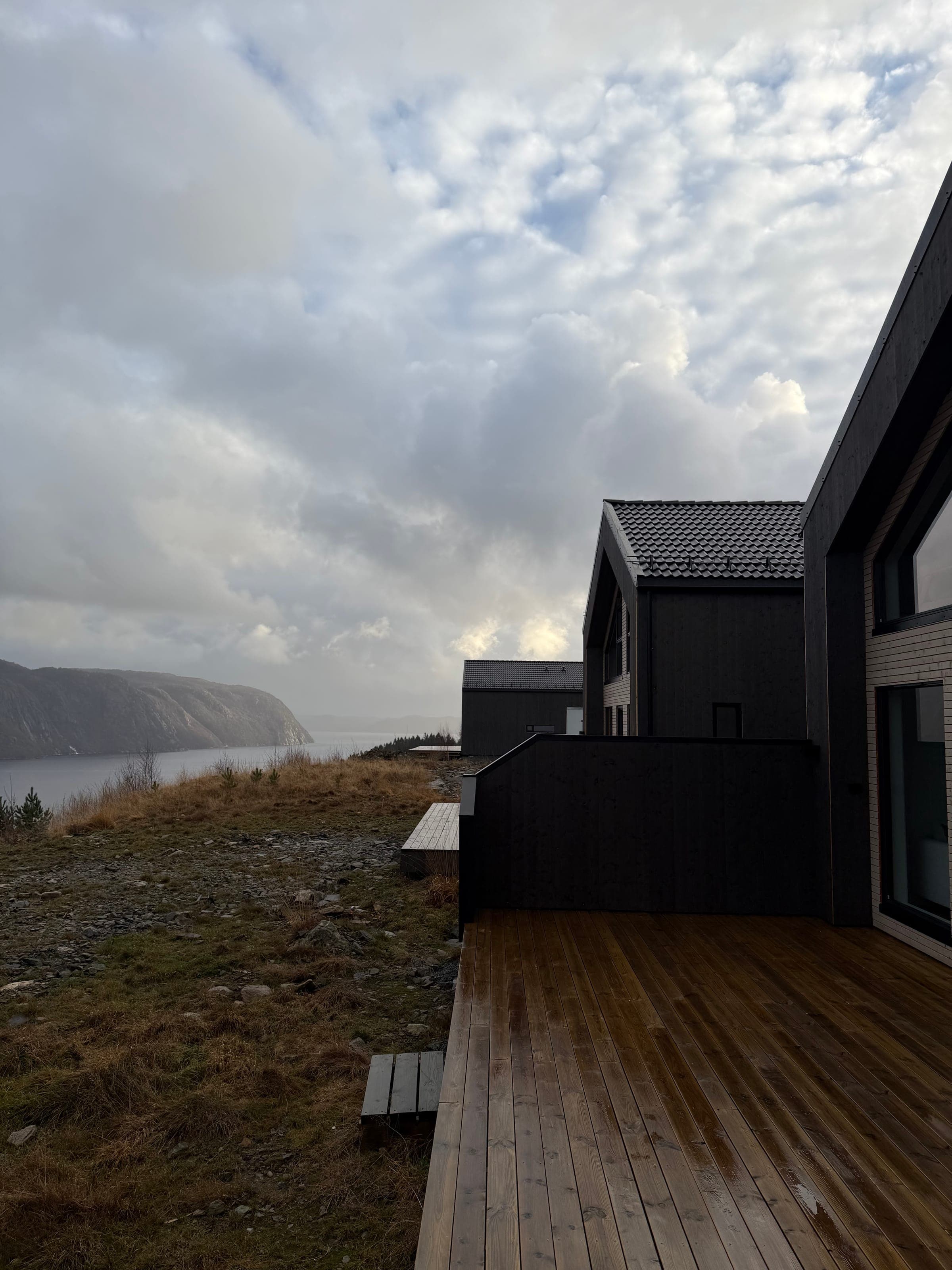
Our house Maritim 2 stands in Borhaug on the Lista peninsula, right on the Kyststien. Set off in the morning, back at your own dining table by lunch. The Ramsland homes 8a and 2d are in Spangereid near Lindesnes, a short drive from the Fjellstien at the lighthouse. And right next door, the Spangereid canal, 930 metres long and opened in 2007, links the Lenefjord with the Njervesfjord. Excavations in 2001 found traces of a far older canal on the same spot.
The homes start from 80 euros per night (Ramsland 2d), with Ramsland 8a from 110 euros and Maritim 2 from 150 euros. Dogs are welcome in all three. In Farsund, a fourth house called Odrelia is taking shape and will be bookable year-round from spring 2027. And if you still have energy after a day's hiking: Maritim 2, Ramsland 8a and Ramsland 2d each come with their own motorboat included in the rent, moored at the jetty.
Frequently asked questions
The Kyststien connects Loshavn in the east with Jøllestø in the west across roughly 30 kilometres. The route is waymarked throughout and mostly flat. You can walk individual sections as half-day outings or spread the full route across several days.
Yes. The Fjellstien is a red-marked circular trail of roughly 4 kilometres with around 100 metres of elevation gain, leading from the lighthouse over rocky terrain around the lake Sulebatjønna. Sure-footedness is recommended. Further marked trails (green, blue) allow for longer walks.
Large stretches of the Kyststien are flat and easy to walk. The section between Verevågen and the Lista lighthouse is a wide gravel path that is even manageable with a pushchair. The Kirkestien between Loshavn and Lomsesanden is steeper and less suited to small children.
For the Kyststien on Lista, Maritim 2 in Borhaug sits right on the trail, from 150 euros per night. For the Fjellstien at Lindesnes lighthouse, Ramsland 2d (from 80 euros) and 8a (from 110 euros) in Spangereid are the nearest base. All three homes include their own boat and welcome dogs.
Living by the water