The Lindesnes and Spangereid region
Lindesnes and Spangereid: where the mainland runs out.
At some point Norway simply stops. Not with a bang, but with a flat, windy headland carrying a lighthouse. That is Lindesnes, the southernmost point of the mainland, and three kilometres inland an entirely different landscape begins: arms of fjord, skerries, stone walls, a canal cut straight through the isthmus. That is Spangereid.
Two of our houses stand here, at Ramsland by the water. This guide gathers what defines the region: the country's oldest lighthouse, a neck of land across which boats were already being hauled in the Iron Age, and the coast in between. Opening hours and dates change, so check them with the operator before you travel.
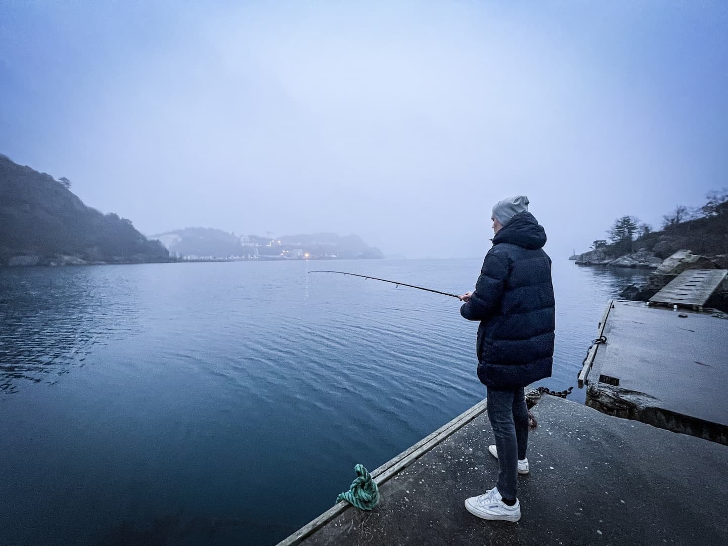
Where the mainland runs out
Lindesnes is the southernmost point of the Norwegian mainland, just short of 58 degrees north. Strictly speaking Norway's southernmost point lies a little further out in the water, on a skerry called Pysen south-east of Skjernøya near Mandal. On the mainland, though, this is the end of it. From here it is around 1,700 kilometres as the crow flies to the North Cape, and anyone walking Norge på langs, the length of the country on foot from south to north, classically sets off from this very lighthouse.
The Lindesnes peninsula also marks a border between two seas: the North Sea to the west, the Skagerrak to the east. That makes Lindesnes a fixed reference point in Norwegian weather forecasts. Off the headland the two sides meet, and you can see it in the water. A few kilometres inland none of that is left: there the arms of the fjord lie still between the rocks, and that double nature is exactly what makes the region worth the trip.
The lighthouse that started everything
On 27 February 1656 the first lighthouse beam in Norway was lit on this headland. It was a timber tower with leaded glass windows at the top, and inside it burned 30 tallow candles. It was not bright enough, skippers complained, and by the autumn of that same year the light had been put out again. It took 69 years before anyone tried again: on 1 February 1725 an open coal fire burned here.
After that it went on step by step. In 1799 the fire basket was raised onto a six metre stone tower, in 1822 the fires were rebuilt as enclosed coal lights in stone towers, and in 1915 a cast iron tower with an electric light went up. Today Lindesnes fyr is the national lighthouse museum. The rock hall beneath the tower holds a café, a film and an exhibition, plus a weather simulator, and according to Visit Sørlandet it is the only lighthouse station in the country still permanently staffed. Opening hours and admission change, so check them before you set off.
Spangereid: the canal and what lies beneath it
Spangereid is the narrow neck of land just north of the headland. Since 2007 a canal has run through it, 930 metres long, linking the Lenefjord in the north with the Njervesfjord in the south. Queen Sonja opened it officially on 5 July 2007. For small boats it means they can pass inside the weather-beaten peninsula instead of going round the outside.
The idea is not new. During excavations in 2001 archaeologists found traces of a far older canal in the same place. Depending on the source, the dating ranges from the late Roman period to the 8th century. Before and after that, boats were simply hauled across the isthmus. Spangereid is remarkable archaeologically in other ways too: it holds one of the largest concentrations of prehistoric nausttufter, the foundations of old boathouses, in all of Scandinavia, along with Iron Age grave fields. In 1977 and 1978 Viking Age boat graves were excavated here.
On foot the easiest way into all this is the loop around the canal. Paths run along both banks, partly gravel, flat and easy, and according to UT.no manageable with a pushchair. A good first hour once you have arrived and do not yet know where to go.
Mandal, Sjøsanden and the light
The administrative centre of the region is Mandal, a good half hour by car east of Spangereid. Today's Lindesnes municipality was formed on 1 January 2020 out of the former municipalities of Lindesnes, Mandal and Marnardal, and has carried municipality number 4205 ever since. Parts of the administration still sit in Vigeland and in Marnardal. The town of Mandal itself has around 11,500 inhabitants according to Store norske leksikon (2025 figure).
The best-known beach lies right there: Sjøsanden, some 807 metres of sand at the mouth of the Mandalselva. And something else speaks for this corner: in July the highest solar radiation in Norway is measured along the outer coast between Mandal and Halden, above 5,500 watt hours per square metre. That is no guarantee of swimming weather, but it does explain why the south coast has been the Norwegian summer destination for generations.
Five and a half metres below the surface
At Båly, on the eastern edge of the peninsula, a concrete form lies half submerged in the sea: the restaurant Under, designed by the architecture practice Snøhetta and opened on 20 March 2019. It was Europe's first underwater restaurant and, according to Visit Norway, the largest in the world. The dining room sits five and a half metres below the surface, where 35 to 40 guests an evening sit at a huge pane of glass and watch the fish drift past outside.
If you want to do it, book early and treat it as an evening of its own. Prices, menus and free dates come from the restaurant itself. And if it does not work out: the road there follows the same coast, and that costs nothing.
Starting from our front door
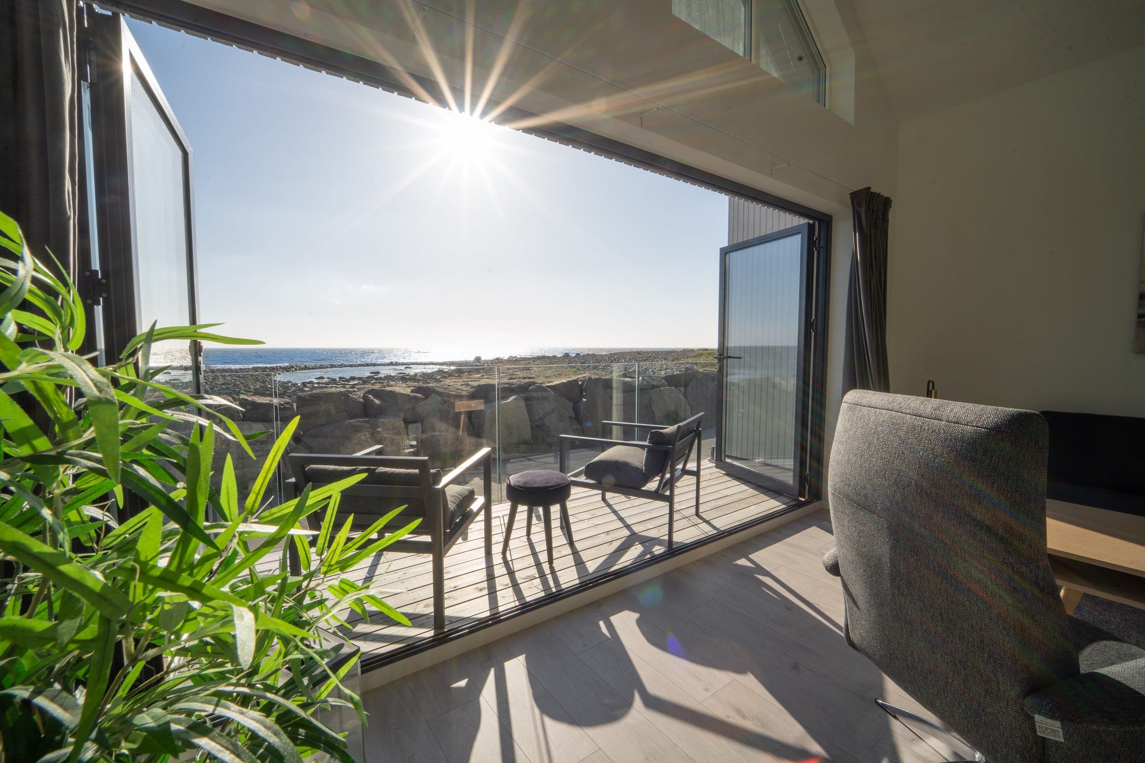
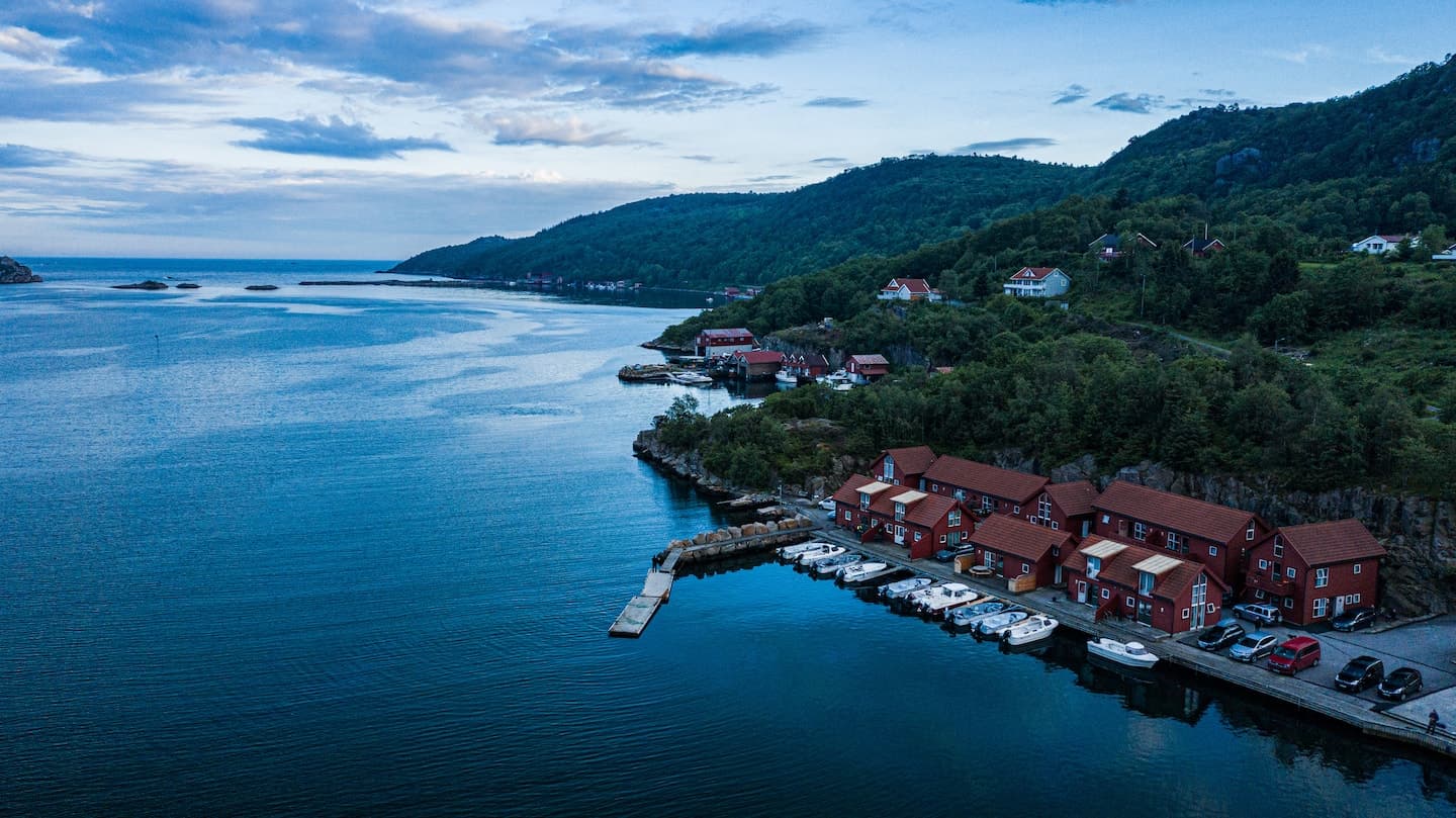
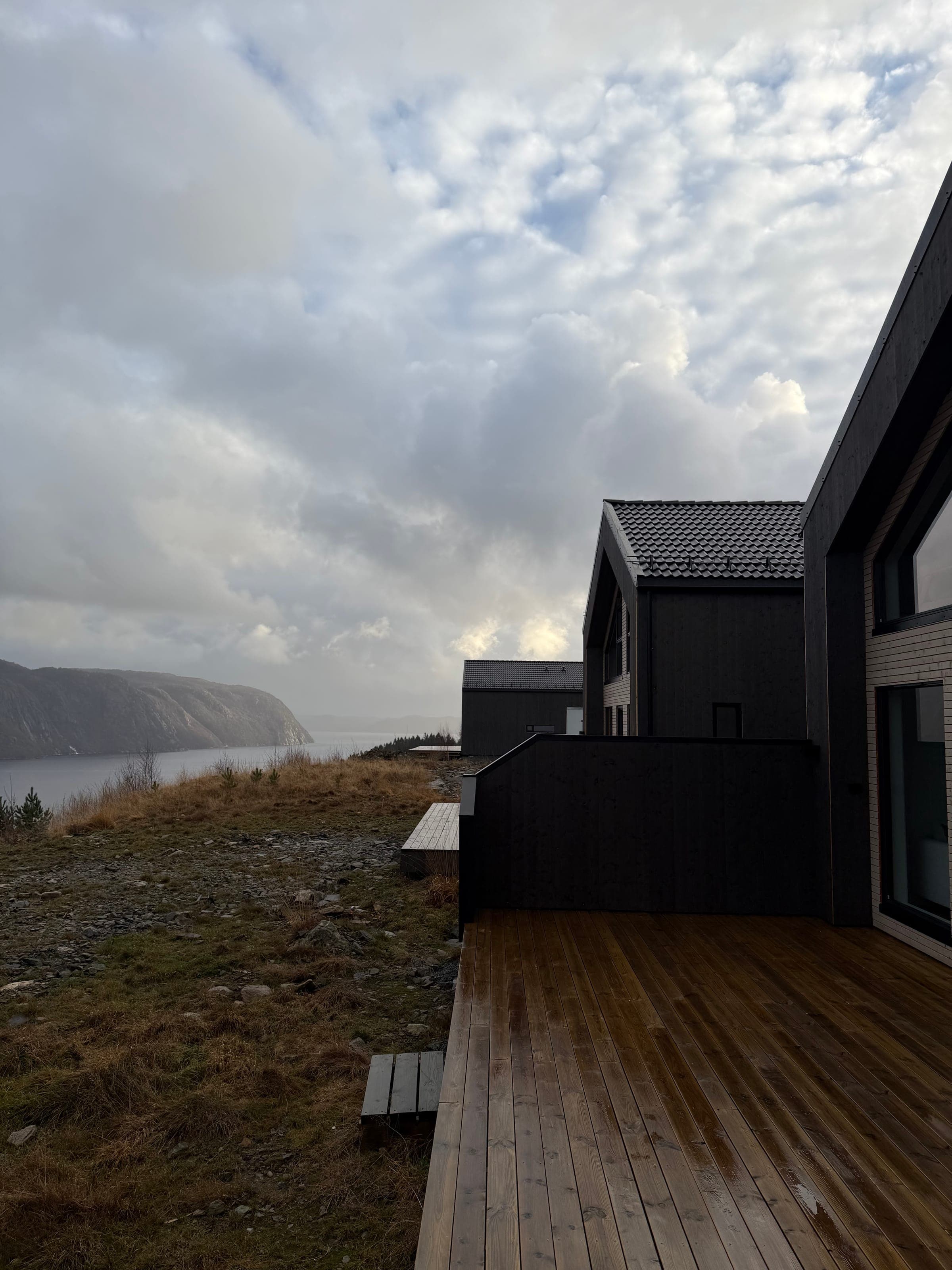
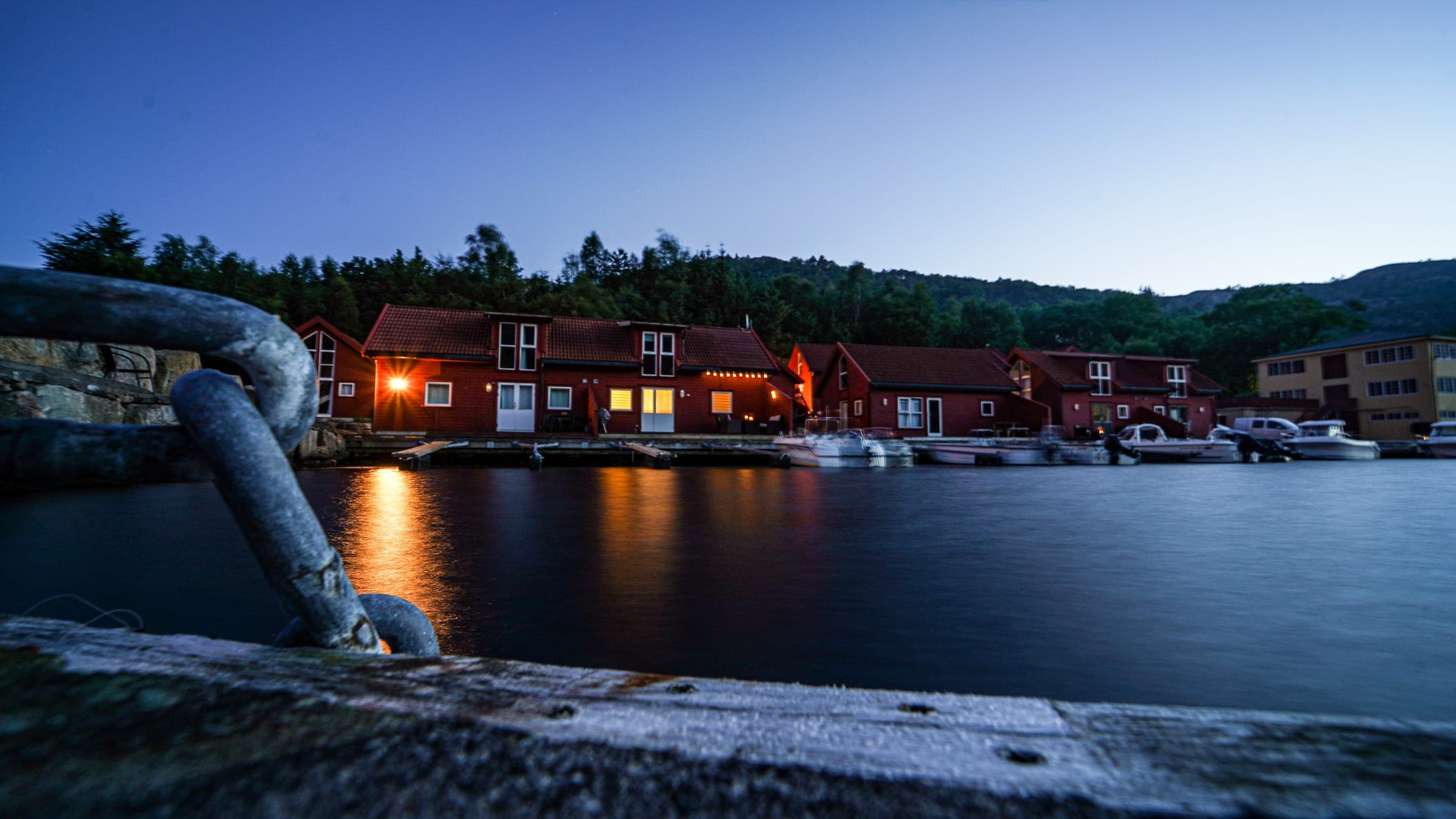
Our two houses in this region stand at Ramsland near Spangereid, right on the Ramslandsvågen. Ramsland 8a has around 100 square metres, four bedrooms and room for up to eight guests, from 110 euros per night, with a terrace one metre above the fjord and a panorama sauna shared with the neighbouring houses. Ramsland 2d is the compact version at around 62 square metres and three bedrooms, for up to six guests, from 80 euros per night, with a barrel sauna by the fjord.
Both houses come with their own dock and a motorboat included in the rent, available from 22 March to 8 November and in winter storage outside that window. You take the helm yourselves, on your own responsibility. Lindesnes lighthouse is about 15 minutes away by car, and the grocer in Spangereid sits just under three kilometres from Ramsland 8a and can even be reached by boat. Further west, on Lista near Farsund, stands our third house Maritim 2 for up to nine guests from 150 euros per night. A fourth is on the way: Odrelia near Farsund, from spring 2027, with a waiting list. Dogs are welcome for a small fee in the three existing houses, but not at Odrelia.
Frequently asked questions
Visit Lindesnes lighthouse of 1656 with its national lighthouse museum and rock hall, walk the easy loop around the Spangereid canal, look at the Iron Age grave fields and boathouse foundations at Spangereid, swim at Sjøsanden in Mandal and take a boat through the sheltered arms of the fjord.
Lindesnes is the southernmost point of the Norwegian mainland. The southernmost point of the country as a whole lies a little further out, on a skerry called Pysen south-east of Skjernøya near Mandal. From Lindesnes it is around 1,700 kilometres as the crow flies to the North Cape, which is why the Norge på langs hike traditionally starts here.
The 930 metre canal has linked the Lenefjord with the Njervesfjord since 2007, letting small boats pass inside the weather-beaten Lindesnes peninsula. Excavations in 2001 showed that a canal already ran at the same spot in prehistoric times. Paths along both banks make it a walking destination today as well.
You are closest if you stay in Spangereid itself. Our houses Ramsland 8a for up to eight guests from 110 euros per night and Ramsland 2d for up to six guests from 80 euros per night sit right on the Ramslandsvågen, both with a sauna, their own dock and a motorboat included in the rent. The lighthouse is about 15 minutes away.
Living by the water